
X лет Узб ССР topographic map
Interactive map
Click on the map to display elevation.
About this map
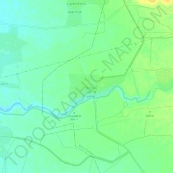
Name: X лет Узб ССР topographic map, elevation, terrain.
Location: X лет Узб ССР, Bo'ka Tumani, Provinz Taschkent, Usbekistan (40.76761 69.03323 40.80761 69.07323)
Average elevation: 1,014 ft
Minimum elevation: 978 ft
Maximum elevation: 1,066 ft