
ท่าเสา topographic map
Interactive map
Click on the map to display elevation.
About this map
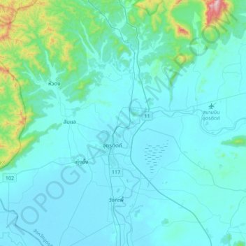
Name: ท่าเสา topographic map, elevation, terrain.
Location: ท่าเสา, อำเภอลับแล, Uttaradit, 53000, Thaïlande (17.49124 99.95303 17.81124 100.27303)
Average elevation: 469 ft
Minimum elevation: 180 ft
Maximum elevation: 3,304 ft