
Vérin topographic map
Interactive map
Click on the map to display elevation.
About this map
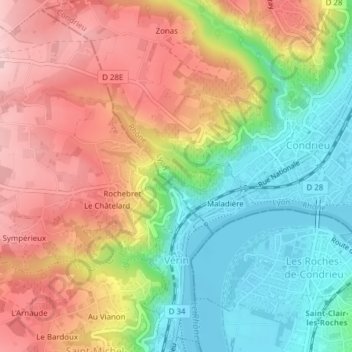
Name: Vérin topographic map, elevation, terrain.
Average elevation: 810 ft
Minimum elevation: 463 ft
Maximum elevation: 1,175 ft
Other topographic maps
Click on a map to view its topography, its elevation and its terrain.
Saint-Étienne
França > Auvergne-Rhône-Alpes > Loire > Saint-Étienne
Saint-Étienne, Loire, Auvergne-Rhône-Alpes, França metropolitana, França
Average elevation: 2,195 ft