
Gluten topographic map
Interactive map
Click on the map to display elevation.
About this map
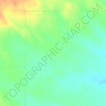
Name: Gluten topographic map, elevation, terrain.
Location: Gluten, Daniels County, Montana, United States (48.78854 -105.73705 48.80854 -105.71705)
Average elevation: 2,677 ft
Minimum elevation: 2,625 ft
Maximum elevation: 2,759 ft