
Parc départemental du Morbras topographic map
Interactive map
Click on the map to display elevation.
About this map
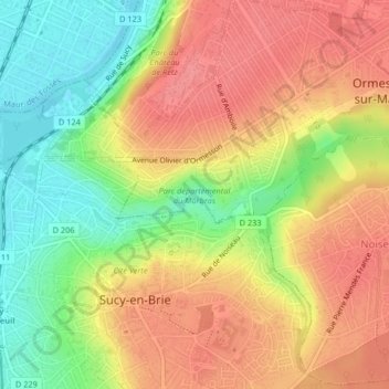
Name: Parc départemental du Morbras topographic map, elevation, terrain.
Average elevation: 253 ft
Minimum elevation: 108 ft
Maximum elevation: 361 ft