
Leadhills topographic map
Interactive map
Click on the map to display elevation.
About this map
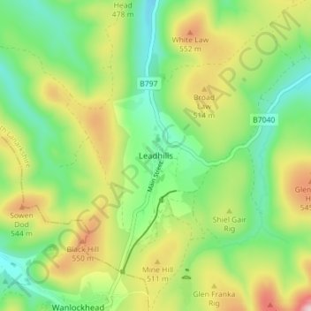
Name: Leadhills topographic map, elevation, terrain.
Location: Leadhills, South Lanarkshire, Écosse, ML12 6XY, Royaume-Uni (55.39709 -3.78196 55.43709 -3.74196)
Average elevation: 1,467 ft
Minimum elevation: 1,079 ft
Maximum elevation: 2,093 ft