
Perpignon topographic map
Interactive map
Click on the map to display elevation.
About this map
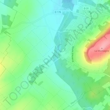
Name: Perpignon topographic map, elevation, terrain.
Average elevation: 476 ft
Minimum elevation: 364 ft
Maximum elevation: 728 ft
Other topographic maps
Click on a map to view its topography, its elevation and its terrain.
Les Menils
France > Bourgogne-Franche-Comté > Fleury-la-Vallée
Les Menils, Fleury-la-Vallée, Auxerre, Yonne, Bourgogne-Franche-Comté, France métropolitaine, 89113, France
Average elevation: 459 ft