
Kemuning topographic map
Interactive map
Click on the map to display elevation.
About this map
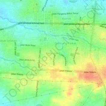
Name: Kemuning topographic map, elevation, terrain.
Location: Kemuning, South Kalimantan, 70714, Indonesia (-3.47412 114.81246 -3.43412 114.85246)
Average elevation: 112 ft
Minimum elevation: 46 ft
Maximum elevation: 197 ft