
Taqabba topographic map
Interactive map
Click on the map to display elevation.
About this map
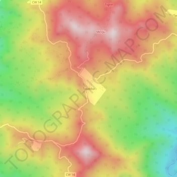
Name: Taqabba topographic map, elevation, terrain.
Location: Taqabba, Beni Ksila, Daïra d'Adekar, Béjaïa, 06106, Algérie (36.83183 4.73884 36.87183 4.77884)
Average elevation: 1,276 ft
Minimum elevation: 171 ft
Maximum elevation: 2,175 ft