
Madugula topographic map
Interactive map
Click on the map to display elevation.
About this map
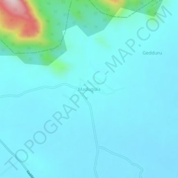
Name: Madugula topographic map, elevation, terrain.
Location: Madugula, Anakapalli, Andhra Pradesh, 531027, India (17.89553 82.79455 17.93553 82.83455)
Average elevation: 364 ft
Minimum elevation: 203 ft
Maximum elevation: 1,621 ft
Other topographic maps
Click on a map to view its topography, its elevation and its terrain.
Chintaluru
India > Andhra Pradesh > Madugula
Chintaluru, Madugula, Anakapalli, Andhra Pradesh, 531027, India
Average elevation: 282 ft