
Bourmel topographic map
Interactive map
Click on the map to display elevation.
About this map
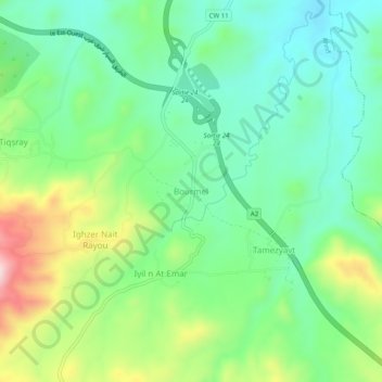
Name: Bourmel topographic map, elevation, terrain.
Location: Bourmel, Ahnif, Daïra M'Chedallah, Bouira, Algérie (36.25085 4.21706 36.29085 4.25706)
Average elevation: 1,670 ft
Minimum elevation: 1,299 ft
Maximum elevation: 2,461 ft