
Chôdes topographic map
Interactive map
Click on the map to display elevation.
About this map
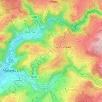
Name: Chôdes topographic map, elevation, terrain.
Location: Chôdes, Malmedy, Verviers, Luik, Wallonië, 4960, België (50.41401 6.03269 50.45401 6.07269)
Average elevation: 1,463 ft
Minimum elevation: 1,079 ft
Maximum elevation: 1,900 ft