
Odenthal topographic map
Interactive map
Click on the map to display elevation.
About this map
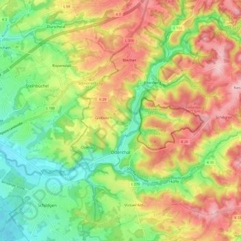
Name: Odenthal topographic map, elevation, terrain.
Average elevation: 469 ft
Minimum elevation: 197 ft
Maximum elevation: 778 ft
Der Ort ist auf der Topographischen Aufnahme der Rheinlande von 1824, auf der Preußischen Uraufnahme von 1840 und ab der Preußischen Neuaufnahme von 1892 auf Messtischblättern regelmäßig als Odenthalverzeichnet.