
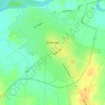
Dolores topographic map
Interactive map
Click on the map to display elevation.
About this map
Name: Dolores topographic map, elevation, terrain.
Location: Dolores, Soriano, 75100, Uruguai (-33.54950 -58.23441 -33.51687 -58.19917)
Average elevation: 46 ft
Minimum elevation: -3 ft
Maximum elevation: 105 ft