
Ribadedeva topographic map
Interactive map
Click on the map to display elevation.
About this map
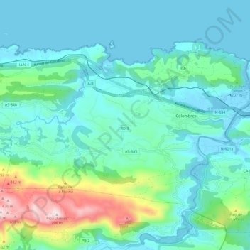
Name: Ribadedeva topographic map, elevation, terrain.
Location: Ribadedeva, Asturias, 33590, Spain (43.34390 -4.62568 43.39973 -4.51059)
Average elevation: 417 ft
Minimum elevation: -23 ft
Maximum elevation: 2,254 ft