PICO EL PULPITO topographic map
Interactive map
Click on the map to display elevation.
About this map
Name: PICO EL PULPITO topographic map, elevation, terrain.
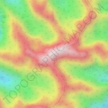
Average elevation: 11,834 ft
Minimum elevation: 10,732 ft
Maximum elevation: 12,703 ft

Click on the map to display elevation.
Name: PICO EL PULPITO topographic map, elevation, terrain.
Average elevation: 11,834 ft
Minimum elevation: 10,732 ft
Maximum elevation: 12,703 ft