
Springbrook Park topographic map
Interactive map
Click on the map to display elevation.
About this map
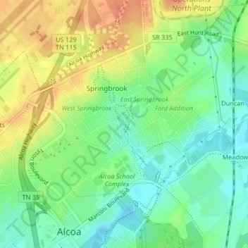
Name: Springbrook Park topographic map, elevation, terrain.
Location: Springbrook Park, Alcoa, Blount County, Tennessee, USA (35.79378 -83.98106 35.79907 -83.97791)
Average elevation: 892 ft
Minimum elevation: 820 ft
Maximum elevation: 981 ft