
Tigaiga topographic map
Interactive map
Click on the map to display elevation.
About this map
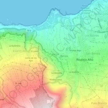
Name: Tigaiga topographic map, elevation, terrain.
Average elevation: 1,329 ft
Minimum elevation: 0 ft
Maximum elevation: 3,694 ft
Other topographic maps
Click on a map to view its topography, its elevation and its terrain.
Realejo Alto
Realejo Alto, Los Realejos, Santa Cruz de Tenerife, Canarias, 38416, España
Average elevation: 1,647 ft