Cancosa topographic map
Interactive map
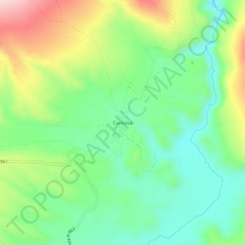
Click on the map to display elevation.
About this map
Name: Cancosa topographic map, elevation, terrain.
Average elevation: 12,989 ft
Minimum elevation: 12,657 ft
Maximum elevation: 13,576 ft

Click on the map to display elevation.
Name: Cancosa topographic map, elevation, terrain.
Average elevation: 12,989 ft
Minimum elevation: 12,657 ft
Maximum elevation: 13,576 ft