
Tonalá topographic map
Interactive map
Click on the map to display elevation.
About this map
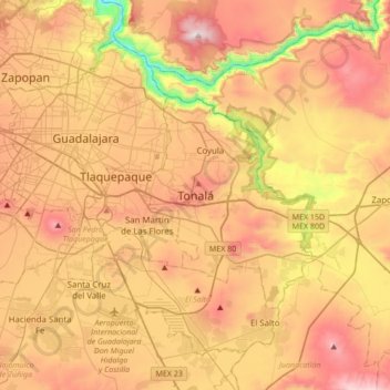
Name: Tonalá topographic map, elevation, terrain.
Location: Tonalá, Jalisco, 45400, Mexico (20.46414 -103.40213 20.78414 -103.08213)
Average elevation: 5,075 ft
Minimum elevation: 3,136 ft
Maximum elevation: 6,762 ft