
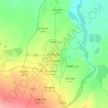
Yarkant topographic map
Interactive map
Click on the map to display elevation.
About this map
Name: Yarkant topographic map, elevation, terrain.
Location: Yarkant, 莎车县, Regierungsbezirk Kaxgar, Xinjiang, China (38.25704 77.08114 38.57704 77.40114)
Average elevation: 4,026 ft
Minimum elevation: 3,921 ft
Maximum elevation: 4,245 ft