
Saeedabad topographic map
Interactive map
Click on the map to display elevation.
About this map
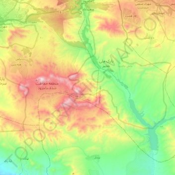
Name: Saeedabad topographic map, elevation, terrain.
Location: Saeedabad, بخش جاجرود, Pardis County, Tehran Province, Iran (35.55581 51.68800 35.74503 51.83353)
Average elevation: 5,177 ft
Minimum elevation: 3,635 ft
Maximum elevation: 7,297 ft