
Au Moulin topographic map
Interactive map
Click on the map to display elevation.
About this map
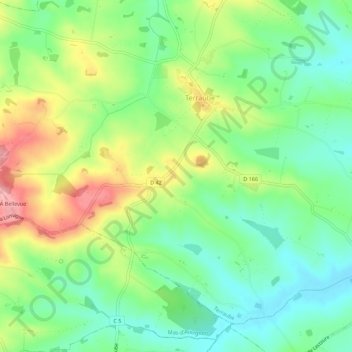
Name: Au Moulin topographic map, elevation, terrain.
Location: Au Moulin, Condom, Gers, Occitânia, França metropolitana, França (43.87738 0.52754 43.91738 0.56754)
Average elevation: 466 ft
Minimum elevation: 299 ft
Maximum elevation: 745 ft