
راستی topographic map
Interactive map
Click on the map to display elevation.
About this map
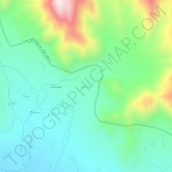
Name: راستی topographic map, elevation, terrain.
Location: راستی, دهستان سخوید, بخش نیر, Taft County, Yazd Province, Iran (31.48915 54.05674 31.52915 54.09674)
Average elevation: 8,625 ft
Minimum elevation: 7,969 ft
Maximum elevation: 10,335 ft