
丽水街道 topographic map
Interactive map
Click on the map to display elevation.
About this map
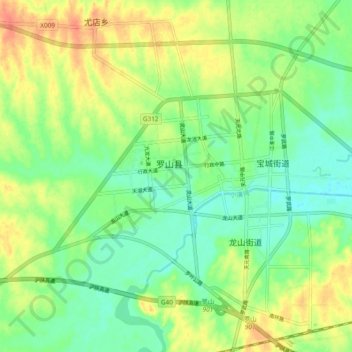
Name: 丽水街道 topographic map, elevation, terrain.
Location: 丽水街道, 罗山县, 信阳市, 河南省, 中国 (32.16319 114.46942 32.24319 114.54942)
Average elevation: 213 ft
Minimum elevation: 148 ft
Maximum elevation: 299 ft
Other topographic maps
Click on a map to view its topography, its elevation and its terrain.