
Weißer See topographic map
Interactive map
Click on the map to display elevation.
About this map
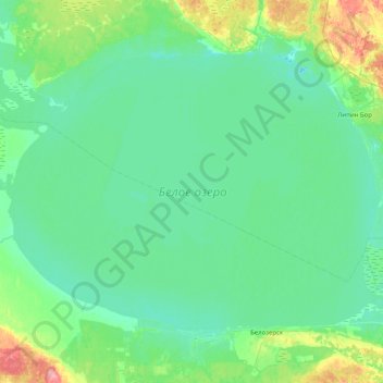
Name: Weißer See topographic map, elevation, terrain.
Average elevation: 390 ft
Minimum elevation: 341 ft
Maximum elevation: 653 ft
Other topographic maps
Click on a map to view its topography, its elevation and its terrain.
Белозерский район
Белозерский район, Oblast Wologda, Föderationskreis Nordwest, Russland
Average elevation: 476 ft