
Flekkefjord topographic map
Interactive map
Click on the map to display elevation.
About this map
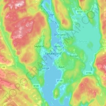
Name: Flekkefjord topographic map, elevation, terrain.
Location: Flekkefjord, Agder, 4400, Norway (58.25727 6.62042 58.33727 6.70042)
Average elevation: 505 ft
Minimum elevation: -7 ft
Maximum elevation: 1,421 ft
Other topographic maps
Click on a map to view its topography, its elevation and its terrain.