
Mai-Ndombe topographic map
Interactive map
Click on the map to display elevation.
About this map
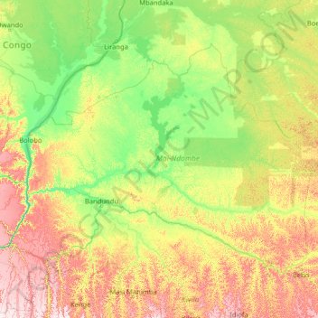
Name: Mai-Ndombe topographic map, elevation, terrain.
Location: Mai-Ndombe, DR Kongo (-4.38270 15.89472 -0.73528 21.00530)
Average elevation: 1,243 ft
Minimum elevation: 892 ft
Maximum elevation: 2,628 ft