
Twin Mountain topographic map
Interactive map
Click on the map to display elevation.
About this map
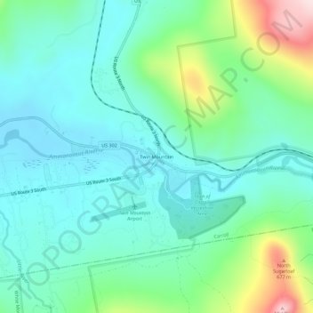
Name: Twin Mountain topographic map, elevation, terrain.
Average elevation: 1,608 ft
Minimum elevation: 1,322 ft
Maximum elevation: 2,513 ft
Other topographic maps
Click on a map to view its topography, its elevation and its terrain.
Bretton Woods
United States > New Hampshire > Coos County > Carroll
Bretton Woods, Carroll, Coös County, New Hampshire, 03575, United States
Average elevation: 1,893 ft