
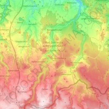
Bad Gottleuba-Berggießhübel topographic map
Interactive map
Click on the map to display elevation.
About this map
Name: Bad Gottleuba-Berggießhübel topographic map, elevation, terrain.
Average elevation: 1,407 ft
Minimum elevation: 594 ft
Maximum elevation: 2,116 ft