
Arita topographic map
Interactive map
Click on the map to display elevation.
About this map
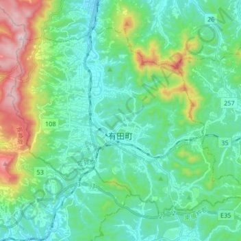
Name: Arita topographic map, elevation, terrain.
Location: Arita, Nishi-Matsuura County, Saga Prefecture, Japan (33.15617 129.80690 33.24180 129.93862)
Average elevation: 604 ft
Minimum elevation: 20 ft
Maximum elevation: 2,493 ft