
Westwood topographic map
Interactive map
Click on the map to display elevation.
About this map
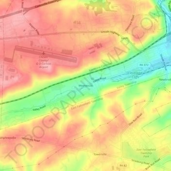
Name: Westwood topographic map, elevation, terrain.
Average elevation: 545 ft
Minimum elevation: 305 ft
Maximum elevation: 689 ft
Other topographic maps
Click on a map to view its topography, its elevation and its terrain.
Hayti
United States > Pennsylvania > Chester County > Valley Township
Hayti, Valley Township, Chester County, Pennsylvania, 13920, United States
Average elevation: 495 ft