
Voghera topographic map
Interactive map
Click on the map to display elevation.
About this map
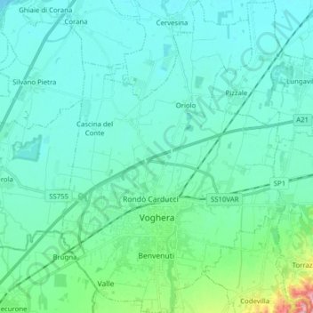
Name: Voghera topographic map, elevation, terrain.
Location: Voghera, Pavie, Lombardie, 27058, Italie (44.95900 8.96096 45.06905 9.06980)
Average elevation: 285 ft
Minimum elevation: 200 ft
Maximum elevation: 791 ft
Other topographic maps
Click on a map to view its topography, its elevation and its terrain.