
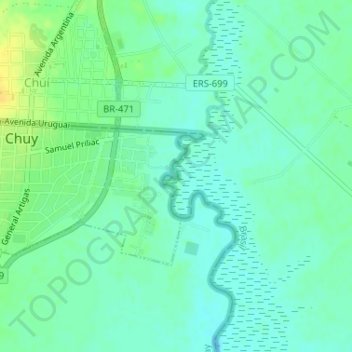
Arroio Chuí topographic map
Interactive map
Click on the map to display elevation.
About this map
Name: Arroio Chuí topographic map, elevation, terrain.
Location: Arroio Chuí, Chuy, Rocha, 27100, Uruguai (-33.69991 -53.44313 -33.69359 -53.43934)
Average elevation: 26 ft
Minimum elevation: 0 ft
Maximum elevation: 75 ft