
Zossen topographic map
Interactive map
Click on the map to display elevation.
About this map
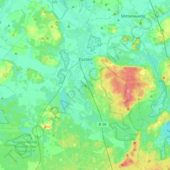
Name: Zossen topographic map, elevation, terrain.
Location: Zossen, Teltow-Fläming, Brandebourg, Allemagne (52.09217 13.29178 52.28200 13.58222)
Average elevation: 157 ft
Minimum elevation: 102 ft
Maximum elevation: 351 ft