Geolocate

Lusby topographic map

Click on the map to display elevation.

About this map

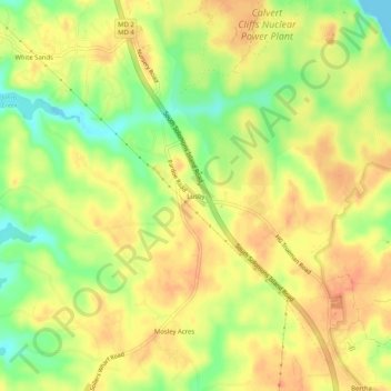
Name: Lusby topographic map, elevation, terrain.

Location: Lusby, Calvert County, Maryland, United States (38.39036 -76.47463 38.43036 -76.43463)

Average elevation: 85 ft

Minimum elevation: 0 ft

Maximum elevation: 135 ft

Calvert County trails, hiking, mountain biking, running and outdoor activities

Gear up for your next adventure:

🛡️Bear Spray Outdoor - Protection in bear country hikes
🔋Rechargeable Batteries - Power up your outdoor devices
🛏️Cold Weather Sleeping Bag - Warm sleeping bag for cold conditions
🧴Hand Sanitizer - Keep hands clean while hiking
📌Outdoor GPS Map App - Apps and devices for digital topographic navigation

As an Amazon Associate, this site earns from qualifying purchases at no extra cost to you.