Chate topographic map
Interactive map
Click on the map to display elevation.
About this map
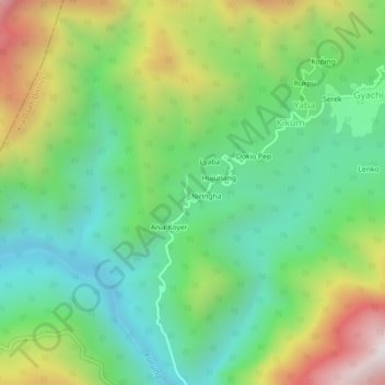
Name: Chate topographic map, elevation, terrain.
Average elevation: 3,455 ft
Minimum elevation: 2,021 ft
Maximum elevation: 6,119 ft

Click on the map to display elevation.
Name: Chate topographic map, elevation, terrain.
Average elevation: 3,455 ft
Minimum elevation: 2,021 ft
Maximum elevation: 6,119 ft