
El Chañar topographic map
Interactive map
Click on the map to display elevation.
About this map
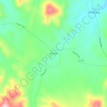
Name: El Chañar topographic map, elevation, terrain.
Location: El Chañar, Provincia de Limarí, Región de Coquimbo, Chile (-31.15954 -71.14508 -31.11954 -71.10508)
Average elevation: 3,041 ft
Minimum elevation: 2,674 ft
Maximum elevation: 3,806 ft