
Latham topographic map
Interactive map
Click on the map to display elevation.
About this map
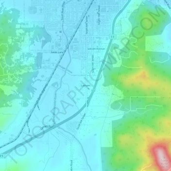
Name: Latham topographic map, elevation, terrain.
Location: Latham, Lane County, Oregon, 97424-1918, USA (43.75532 -123.08232 43.79532 -123.04232)
Average elevation: 833 ft
Minimum elevation: 633 ft
Maximum elevation: 1,860 ft