
Thoubal River topographic map
Interactive map
Click on the map to display elevation.
About this map
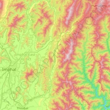
Name: Thoubal River topographic map, elevation, terrain.
Location: Thoubal River, Saikul, Kangpokpi District, Manipur, India (24.63173 93.91876 25.08554 94.37554)
Average elevation: 3,323 ft
Minimum elevation: 1,152 ft
Maximum elevation: 6,575 ft