
Clay City topographic map
Interactive map
Click on the map to display elevation.
About this map
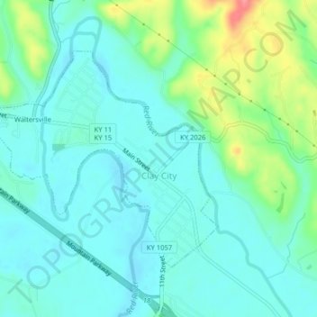
Name: Clay City topographic map, elevation, terrain.
Location: Clay City, Powell County, Kentucky, USA (37.85018 -83.95085 37.87158 -83.91113)
Average elevation: 663 ft
Minimum elevation: 597 ft
Maximum elevation: 873 ft