
Byrne topographic map
Interactive map
Click on the map to display elevation.
About this map
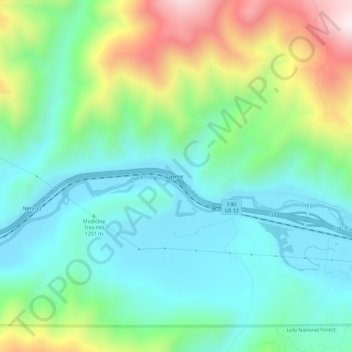
Name: Byrne topographic map, elevation, terrain.
Location: Byrne, Granite County, Montana, USA (46.68382 -113.47342 46.72382 -113.43342)
Average elevation: 4,426 ft
Minimum elevation: 3,678 ft
Maximum elevation: 6,253 ft