
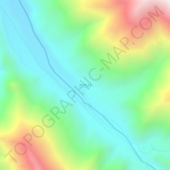
杰巴村 topographic map
Interactive map
Click on the map to display elevation.
About this map
Name: 杰巴村 topographic map, elevation, terrain.
Location: 杰巴村, 仲萨乡, 工布江达县, 林芝市, 西藏自治区, 中国 (29.72748 93.31287 29.76748 93.35287)
Average elevation: 13,169 ft
Minimum elevation: 11,673 ft
Maximum elevation: 16,414 ft