
Caleta Lenga topographic map
Interactive map
Click on the map to display elevation.
About this map
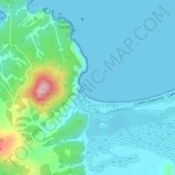
Name: Caleta Lenga topographic map, elevation, terrain.
Location: Caleta Lenga, Lenga, Caleta Lenga, Chile (-36.76453 -73.17404 -36.76443 -73.17394)
Average elevation: 131 ft
Minimum elevation: 0 ft
Maximum elevation: 787 ft