
Cascade de l'Artigue topographic map
Interactive map
Click on the map to display elevation.
About this map
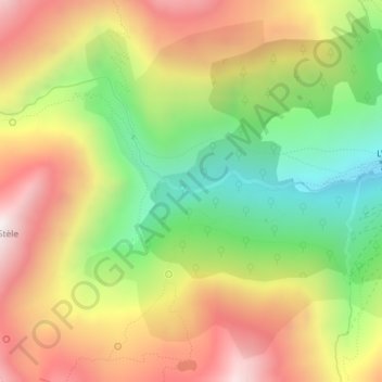
Name: Cascade de l'Artigue topographic map, elevation, terrain.
Average elevation: 5,512 ft
Minimum elevation: 3,835 ft
Maximum elevation: 7,241 ft