
San Carlos topographic map
Interactive map
Click on the map to display elevation.
About this map
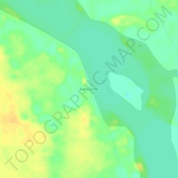
Name: San Carlos topographic map, elevation, terrain.
Location: San Carlos, Tiputini, Aguarico, Ecuador (-0.79942 -75.57497 -0.75942 -75.53497)
Average elevation: 607 ft
Minimum elevation: 568 ft
Maximum elevation: 650 ft