
Fortul topographic map
Interactive map
Click on the map to display elevation.
About this map
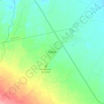
Name: Fortul topographic map, elevation, terrain.
Location: Fortul, Arauca, Colombia (6.75285 -71.81439 6.83285 -71.73439)
Average elevation: 791 ft
Minimum elevation: 686 ft
Maximum elevation: 1,027 ft