
Sünnet topographic map
Interactive map
Click on the map to display elevation.
About this map
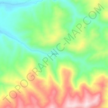
Name: Sünnet topographic map, elevation, terrain.
Location: Sünnet, Karayazı, Erzurum, Eastern Anatolia Region, Turkey (39.58289 42.04232 39.62289 42.08232)
Average elevation: 7,329 ft
Minimum elevation: 6,781 ft
Maximum elevation: 8,084 ft