De Gulke Putten topographic map
Interactive map
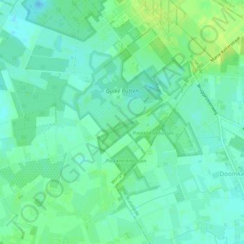
Click on the map to display elevation.
About this map
Name: De Gulke Putten topographic map, elevation, terrain.
Average elevation: 62 ft
Minimum elevation: 39 ft
Maximum elevation: 92 ft

Click on the map to display elevation.
Name: De Gulke Putten topographic map, elevation, terrain.
Average elevation: 62 ft
Minimum elevation: 39 ft
Maximum elevation: 92 ft