
Sommeralm topographic map
Interactive map
Click on the map to display elevation.
About this map
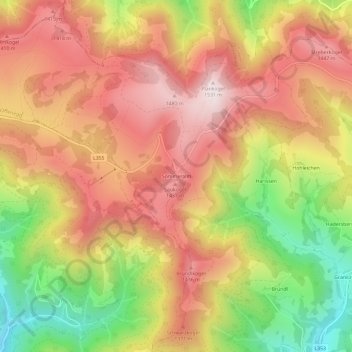
Name: Sommeralm topographic map, elevation, terrain.
Average elevation: 3,986 ft
Minimum elevation: 2,641 ft
Maximum elevation: 4,993 ft
Other topographic maps
Click on a map to view its topography, its elevation and its terrain.
Dorf
Österreich > Steiermark > Bezirk Weiz > St. Kathrein am Offenegg > Sankt Kathrein am Offenegg
Dorf, Sankt Kathrein am Offenegg, St. Kathrein am Offenegg, Bezirk Weiz, Steiermark, 8171, Österreich
Average elevation: 3,035 ft